


by: Camila Schaulson Frenz
What does the city look like from sea level?
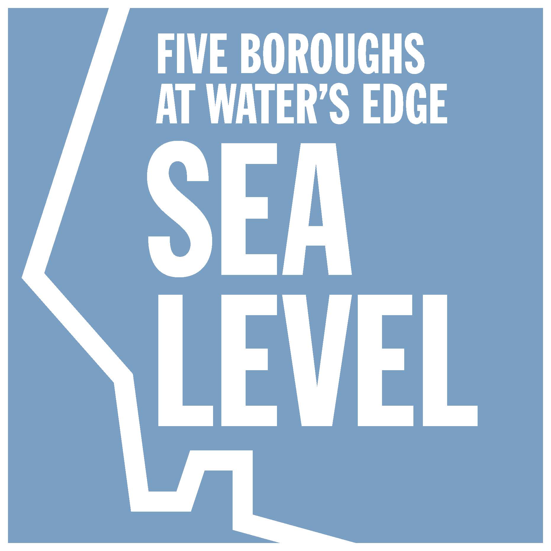
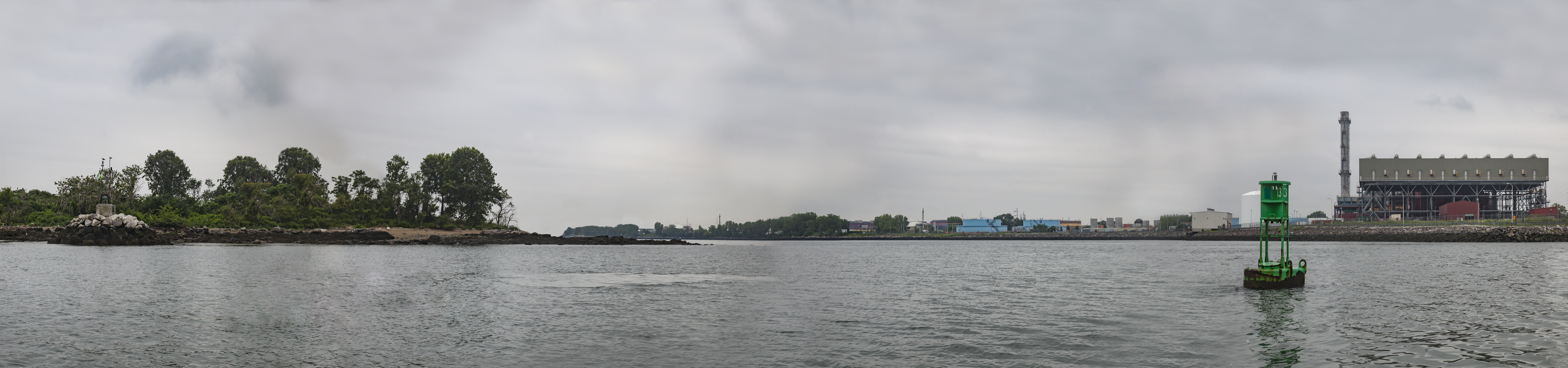
The Center for Architecture’s Seaport Culture District exhibition, “Sea Level: Five Boroughs at Water’s Edge,” answers this question by presenting a waterfront panorama of New York City documented by photographer Elizabeth Felicella. It spans 25 miles from Fort Wadsworth, which guards the city and the Upper Bay of New York from the easternmost tip of Staten Island, to Fort Totten, another ancient strategic post that stands at the place where the East River ends and Long Island Harbor begins. Viewers will have the opportunity to see the shores of all five boroughs, along with the raw geography and built development that mark and characterize them. Sites along the panorama are annotated with essays by celebrated author Robert Sullivan that explore the deep history of NYC’s waterfront.
Join us for the opening of “Sea Level” on 09.10.15 at the Center for Architecture’s temporary space at 181 Front Street, part of the Seaport Culture District. A reception at 5:00 pm will be followed by a “Conversation at Sea Level” between Felicella and Sullivan. A free, limited edition book of Sullivan’s delightful texts on New York City’s waterfront will be available for signing.