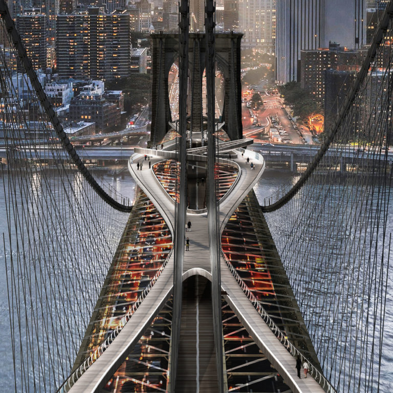


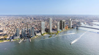
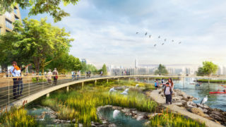
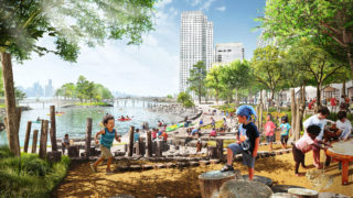
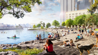

As part of an evolving Brooklyn waterfront, the River Ring Master Plan is an extraordinary opportunity to provide a new model for urban shorelines. This vision will enhance access and connectivity of the public waterfront, restore natural habitats, elevate the standard for urban waterfront resiliency, and transform the way New Yorkers experience the East River with a living waterfront and ground-breaking mixed-use development. The River Ring will complete the continuous public waterfront that stretches from Domino Park to Bushwick Inlet Park, addressing a major missing link between Williamsburg and Greenpoint. The water’s edge extends into the city to offer the community a natural respite, and provide additional habitats for native species. Waterfront infrastructure and open space will feature accessible breakwaters and nature trails, beaches, marshes, wetlands, and a tidal basin that dissipate wave action from storm surges and create calmer waters for safe in-water recreation—a rare opportunity for New Yorkers. The River Ring seeks to maximize affordable housing, minimize the burden on existing infrastructure, and employ architectural strategies responsive to site conditions and constraints. In addition to over 70,000sf of public-facing programs, the two mixed-income buildings will provide 1,050 total units of housing, 263 of which will be below-market rate.