


by: Lisa Delgado


Event: Planning for the Future: Integrating Art & Architecture into a Digital Cultural Landscape
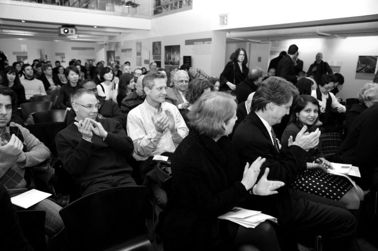
Location: Center for Architecture, 07.26.11
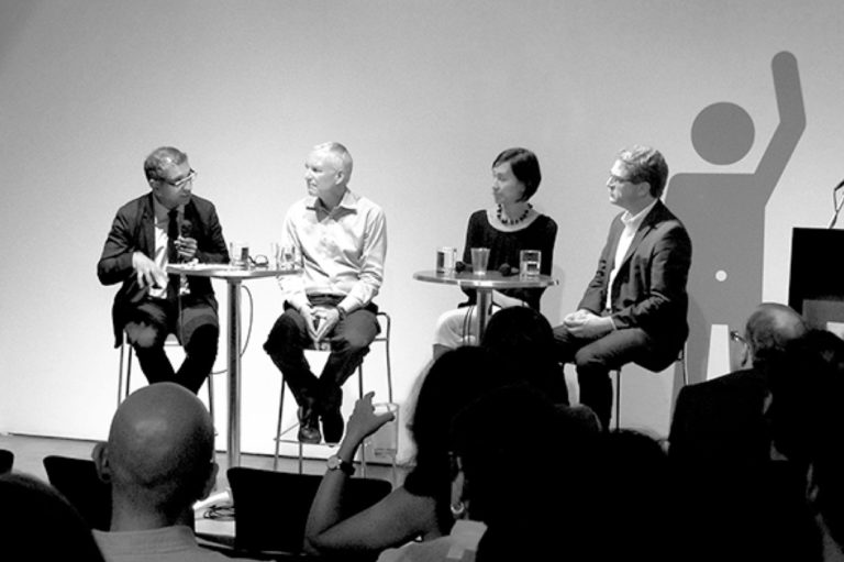
Speakers: Jason Kambitsis — Senior Planner of the City of Pittsburgh Department of City Planning; Sherri Brueggemann — Manager, City of Albuquerque’s Public Art Program; Alexandros E. Washburn, AIA — Chief Urban Designer, New York City Department of City Planning
Moderator: William Menking — Founder and Editor-in-Chief, The Architect’s Newspaper
Organizers: Center for Architecture; cultureNOW; AIANY Planning and Urban Design Committee
Sponsors: ABC-Imaging; Partners: Betaville-Brooklyn Experimental Media Center; Center for Urban Research — City University of New York; Google; New York Public Library; Spatial Information Design Lab — Graduate School of Architecture, Planning & Preservation at Columbia University; Wildlife Conservation Society; Tauranac Maps; The Environmental Simulation Center; Special Thanks: Dattner Architects; The Mohawk Group; Karastan

Computer models were overlaid with hand drawings to capture the vibrant spirit of Coney Island.
New York City Department of City Planning
As a fierce hurricane pummels NYC, a huge swell of water washes over much of Wall Street and Red Hook, doing even more damage than Katrina. This might sound like the plot of yet another disaster movie set in New York, but it’s actually the scenario in a digital animation created by the Office of Emergency Management.
These days, city planners and designers are increasingly turning to digital maps and other visualizations like this to portray what the future might hold for their cities, whether in times of disaster or opportunity. In a recent talk in a series tied to the exhibition “Mapping the Cityscape” , government officials from NYC, Pittsburgh, and Albuquerque discussed how such technologies are being used in their cities.
The hurricane animation involved GIS graphics based on SLOSH maps, explained Alex Washburn, AIA, chief urban designer in the NYC Department of City Planning (DCP). Another DCP project involved mapping the city’s food deserts. “City Planning has, and is accumulating, a tremendous store of GIS information,” Washburn remarked. “As the data gets finer and finer grained, you really can use it as a tool of inquiry to try to figure out what the problems are and where the problems are.”
In Pittsburgh, urban planners used GIS to figure out how many pieces of property would be covered under a new zoning ordinance for urban agriculture, said Jason Kambitsis, senior planner in that city’s Department of City Planning. On a lighter note, Sherri Brueggemann, manager of Albuquerque’s Public Art Program, proposed that the information in digital maps of UFO landings could be useful for city officials hoping to woo aliens as cultural tourists. “We know that they’re out there,” she said. “But where are they vacationing?”
Amidst all the discussion of digital technologies, Washburn reminded the audience of the importance of hand drawing, too, in creating effective visualizations of a place. A few years ago, to depict what Coney Island would look like under a proposed rezoning, designers in the DCP used computer models overlaid with colorful drawings to capture the vibrant spirit of the locale. “We try to use this combination of computer work and hand sketching to get to a point that is accurate enough spatially but loose enough to give a sensibility to a place,” Washburn explained, adding that he won’t hire anyone who can’t hand draw. Drawing by hand can “infuse a little bit of character into a view, to give you a sense of what it would feel like to be there,” he said.
Lisa Delgado is a freelance journalist who has written for Oculus, The Architect’s Newspaper, Architectural Record, Blueprint, and Wired, among other publications.