by: Linda G. Miller
Event: The Mannahatta Project
Location: Center for Architecture, 02.15.08
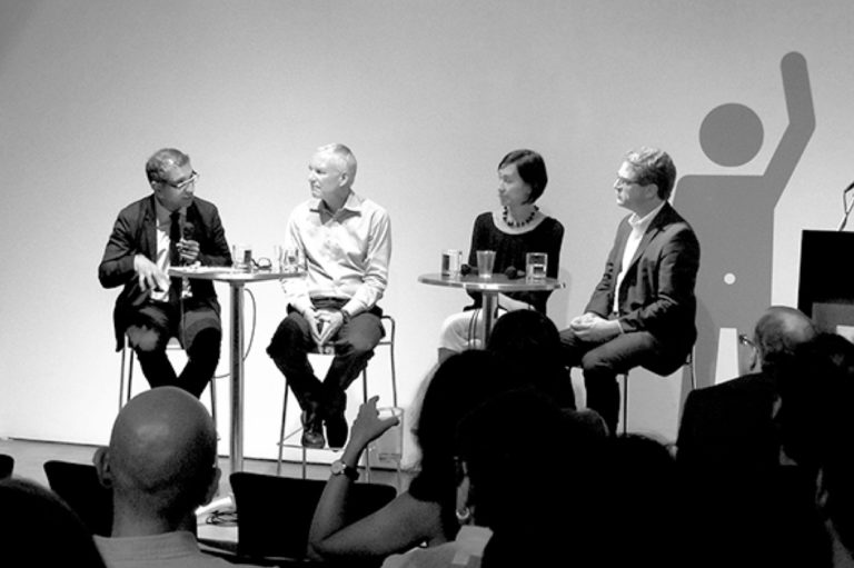
Speakers: Eric Sanderson, Ph.D. — Associate Director, Living Landscape Program; Tom Jost — Director of Planning, Arup; Glenn Phillips — Executive Director, NYC Audubon; James Karl Fischer, AIA, RIBA, Ph.D. — Co-Chair, AIANY International Committee
Moderator: Ernie Hutton, FAICP, Assoc. AIA — Co-Chair, AIANY Planning & Urban Design Committee
Organizers: AIANY Planning & Urban Design Committee

The Upper West Side in 1609.
Courtesy Wildlife Conservation Society
It’s hard to imagine that 54 distinct ecosystems once existed on the island of Mannahatta — the land of many hills in the Lenape Indian dialect. Some traces of what once was has been commemorated by their names — Murray Hill and Canal Street, for example — but the marshes, beaches, and forests that once dotted the landscape are long gone and mostly forgotten. Did you know that there once was a beach on 125th Street and the Hudson River? An orchard on the Bowery? A Red Maple Swamp in Times Square?
Eric Sanderson, an ecologist with the Wildlife Conservation Society who is in charge of its “human footprint” project has been studying military maps from the American Revolution, early 19th century topographic surveys, and bird-watching and plant surveys to build a digital model of primeval Manhattan. Sanderson’s Mannahatta Project will compile the data and map the history of the island with GPS precision to show us what Manhattan looked like when Henry Hudson sailed the western shore in 1609, from the landscape to Native Americans and the wolves, mountain lion, and elk. He is planning to publish a book, website, and possibly curate an exhibition in time for the quadricentennial celebration of Hudson’s discovery. The highlight of the project will be virtual 3-D mapping of places like Times Square, complete with images from 400 years ago and projections 400 years from now. Eventually, he would like to recreate views on bus shelters or install plaques around the city pointing to landscape features that no longer exist.
Sanderson talked about a system he calls the Muir Web, named after naturalist John Muir, that shows how each species of plant, animal, and habitat forms a web of dependency. Panelist James Karl Fischer, AIA, RIBA, PhD, commented that it would be better if conservationists started with Charles Darwin and proceeded on to Muir. This “would allow one to produce better strategies to confront contemporary wildlife issues. Darwin speaks of ubiquitous impacts, not a static balance.”
Sanderson’s presentation included a split-view map of Manhattan — the left side was untouched and forested, and the right was filled with today’s skyscrapers. “The Mannahatta Project,” says Sanderson, “is not only a look into our past, but also a look forward to our future. It is the decisions we make now… that shape our planet and will endure as our legacy into the future.”


